

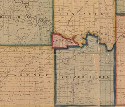
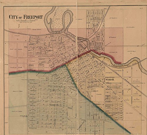

This colorful wall map of Stephenson County Illinois published in 1859 by H. F. Walling. It shows the old roads in the county and identifies each house and business by the owner's name. The reprint is made from the original on file at the Library of Congress. We have edited the original to improve the appearance. Great for genealogists and history lovers! Please note that the map is missing some areas. We have highlighted the major gaps with clips. Original size 56" x 59". We offer this map in different sizes. ***Some text will be hard to read or illegible at the smaller sizes, but the map still makes an attractive wall display.*** Printed on high quality bond paper with Canon ink. Also available on canvas. ****Please choose carefully as maps are not returnable.****
Trustpilot
1 day ago
2 weeks ago
