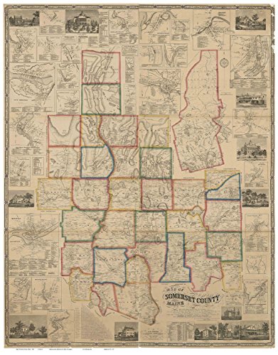
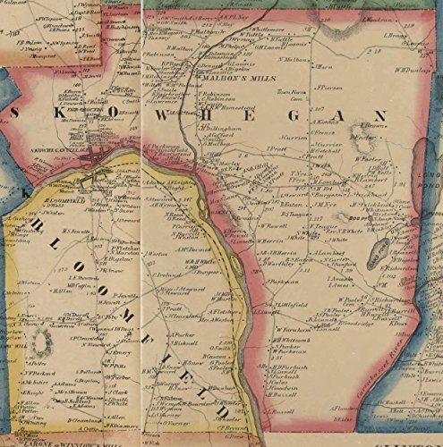
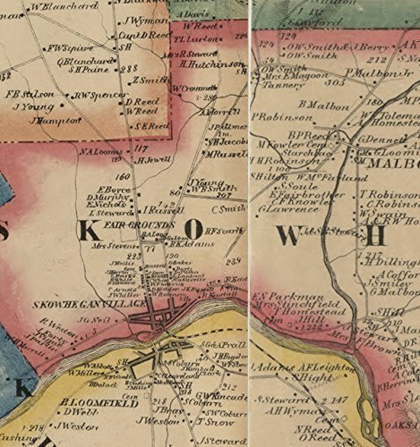
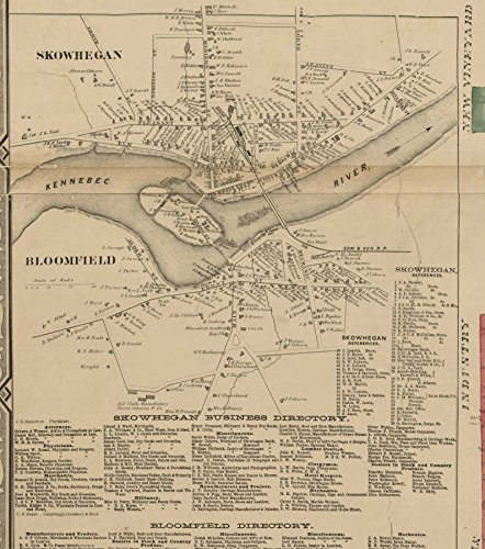

This remarkable map of Somerset County Maine published in 1858 by J. Chase Jr. was the first complete map of Somerset County. It shows all the roads in the county and identifies each house and business by the owner's name. The reprint is made from the original on file at the Library of Congress, Geography and map Division. We have edited the LC scan to make this more presentable, such as removing several large gaps, and removing blemishes. Great for genealogists and history lovers. Original size 55" x 70". (Go to "Select Options" to see sizes offered). ***All text is legible on the larger prints but will be hard to read or illegible on the smaller prints. *****Printed on high quality bond paper with Canon ink. Also available on canvas. ****Please choose carefully as maps are not returnable.****
Trustpilot
1 day ago
3 weeks ago
