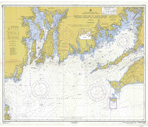
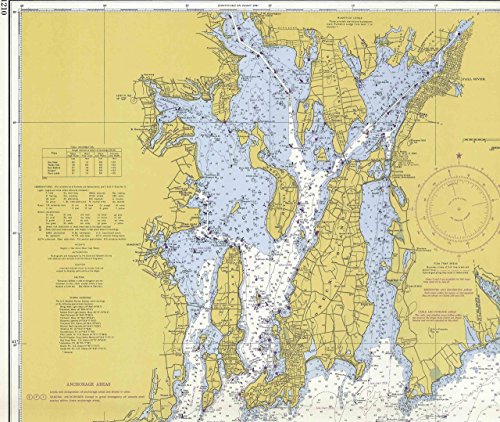
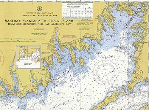
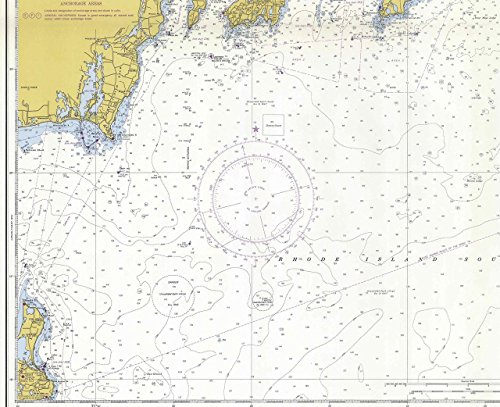
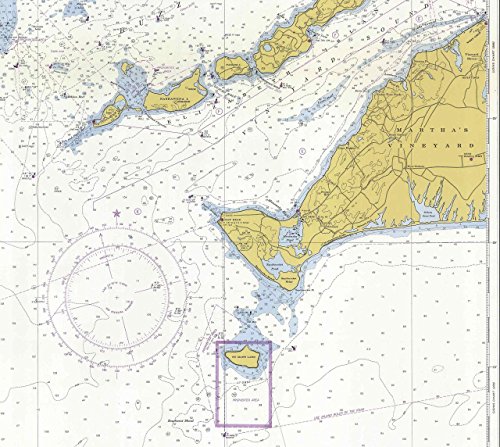
An historic nautical chart of Block Island Sound titled "Martha's Vineyard to Block Island Including Buzzards & Narragansett Bays" MA & RI published in 1934 by the U.S. Department of Commerce. It shows topography, water depths, and nautical features. Portraying the western half of Martha's Vineyard westerly to Block Island, Rhode Island. Original scale is 1:80,000. Original size - 38" x 43" We offer this map reprint in three sizes. The smallest size print will be hard to read, but still attractive. Printed in color on high quality bond paper. Also available on canvas!
Trustpilot
1 month ago
2 weeks ago
