
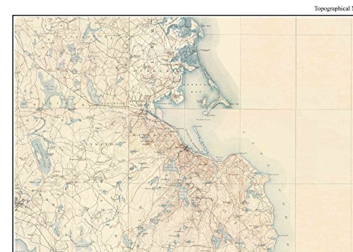
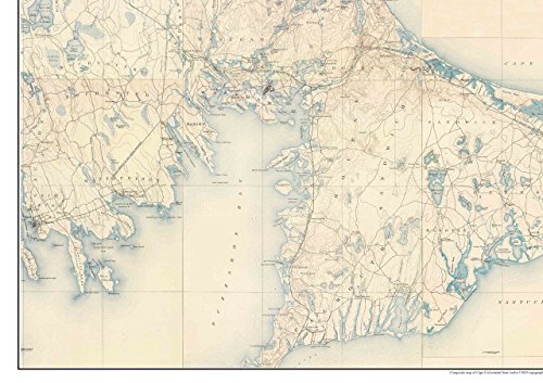
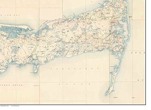
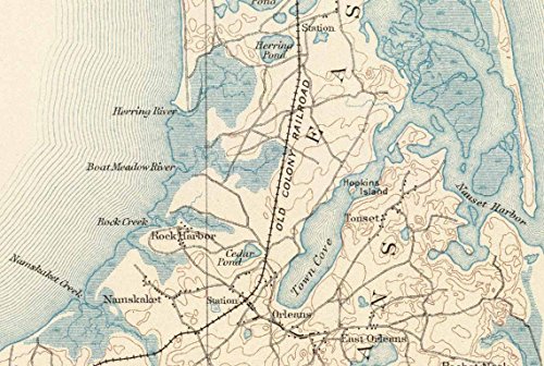

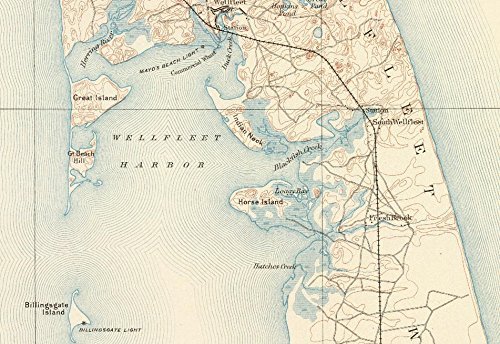
This old USGS topographical map is a composite we made from 12 separate USGS topographical maps. We stitched the maps together to make one large wall map. This is a WIDER version of our most popular map. (also 1890, but more "square" in its proportions). We offer this version to more closely fit standard frames, such as 18x24 and 24x32. The old topo maps show every road and all principal buildings, as well as lakes, rivers, railroads and elevations. Also shown are the old life Saving Stations. Original size 44" x 59". Offered at different sizes. Text is very hard to read (or illegible) on the smaller sizes, but the small prints are quite attractive. Printed on high quality bond paper. This map is also available on canvas. Please choose carefully as maps are not returnable.
Trustpilot
1 month ago
3 days ago
