
Desert Online General Trading LLC
Warehouse # 7, 4th Street, Umm Ramool, Dubai, 30183, Dubai
Desert Online General Trading LLC
Warehouse # 7, 4th Street, Umm Ramool, Dubai, 30183, Dubai
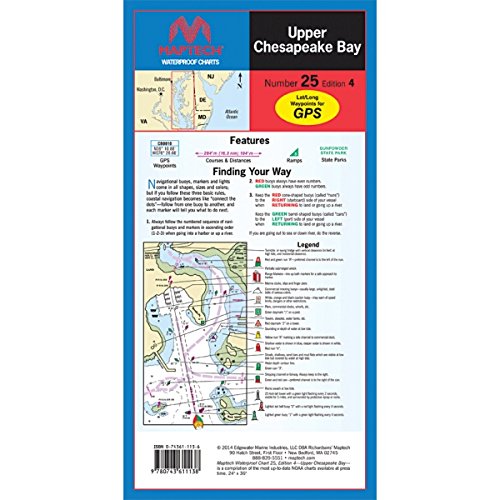
Detailed coverage of C&D Canal to the Potomac River. Featuring waypoints for major buoys, courses and distances, and ramp locations and information. Great planning chart. 24 x 36, scale 1:114,000
Trustpilot
1 month ago
2 weeks ago
4 days ago
2 weeks ago