
Desert Online General Trading LLC
Dubai, United Arab Emirates
Desert Online General Trading LLC
Dubai, United Arab Emirates

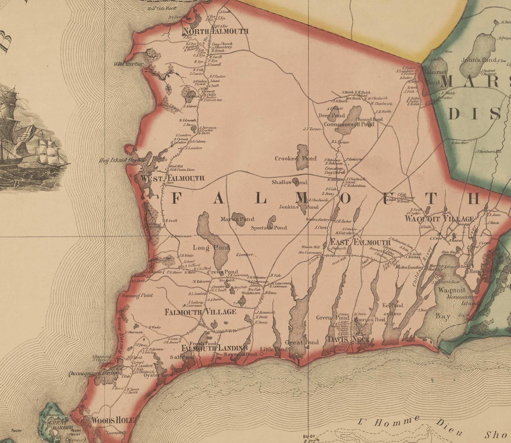
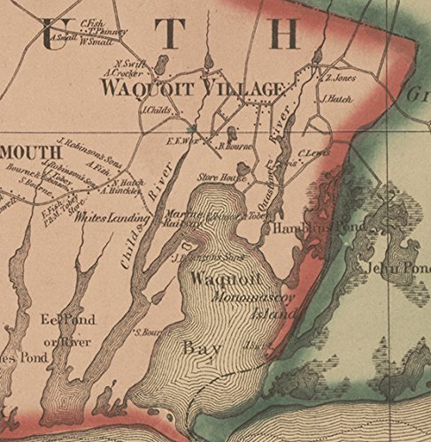
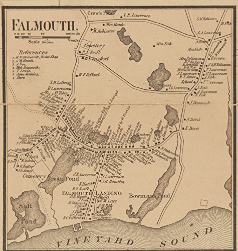
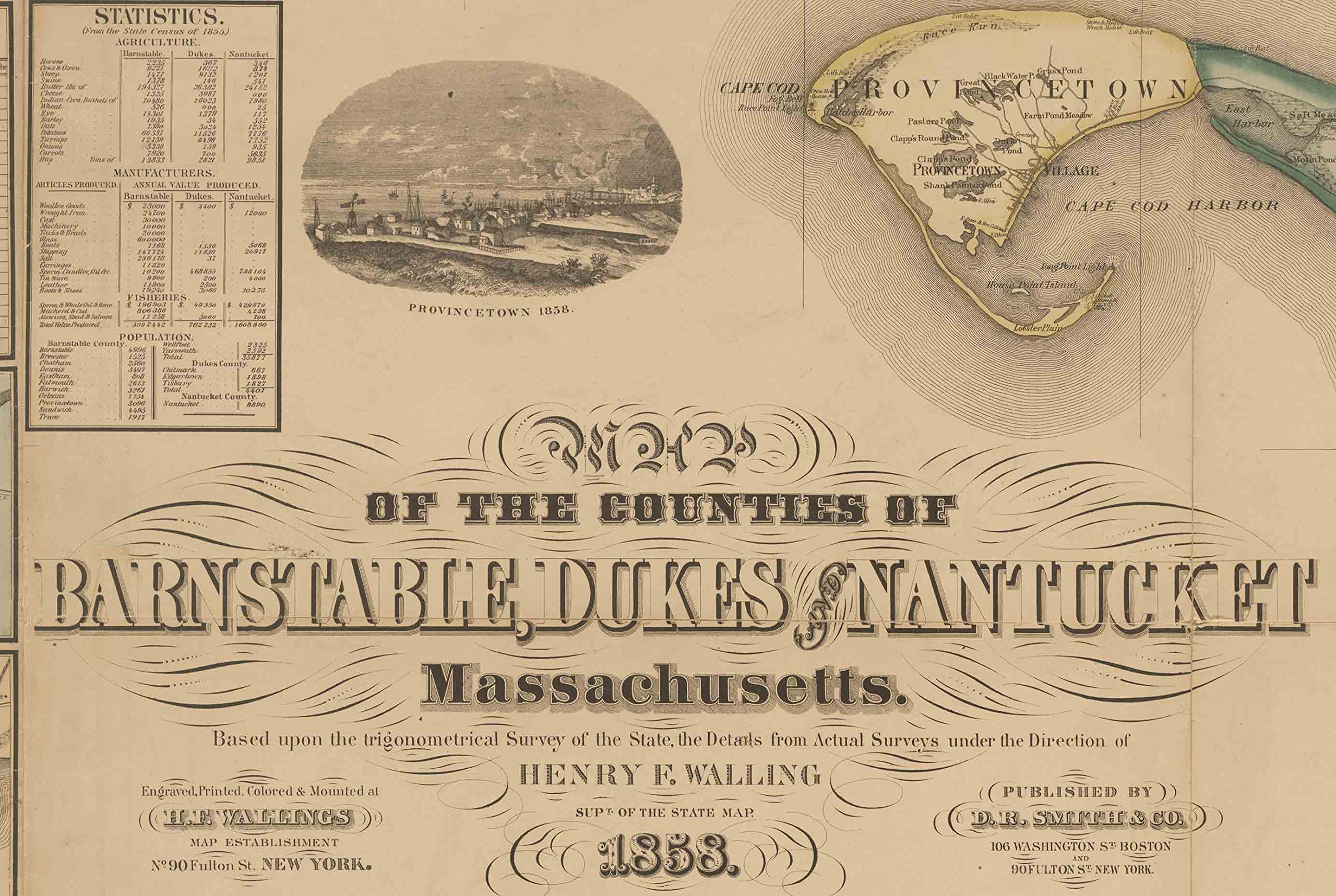
This remarkable map of Barnstable, Dukes & Nantucket Counties Massachusetts published in 1858 by H.F. Walling was the first complete map of the counties. It shows all the roads in the county and identifies each house and business by the owner's name. Our reprint is made from the original on file at the Library of Congress. We have done minor edits to the electronic file to improve the quality of the reprint. Great for genealogists and history lovers. Original size is 62" x 58" and this print is 36" x 39" so the names are hard to read, but town and village names are legible. Printed on high quality bond paper with Canon ink. *****We printed an extra map by mistake and this map normally sells for $54****Please choose carefully as maps are not returnable.****
Trustpilot
2 weeks ago
1 month ago