
Desert Online General Trading LLC
Dubai, United Arab Emirates
Desert Online General Trading LLC
Dubai, United Arab Emirates

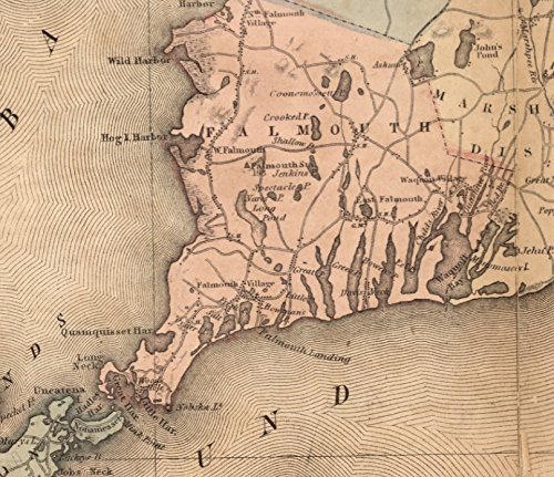
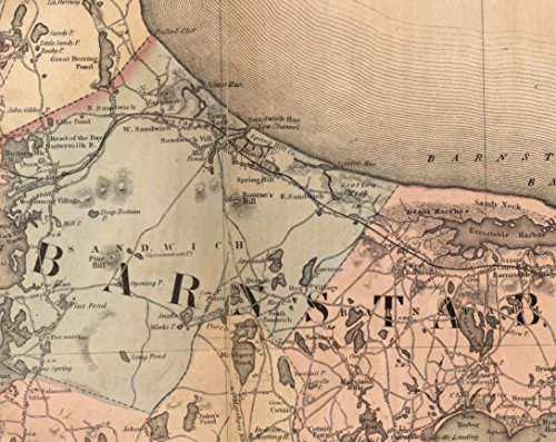
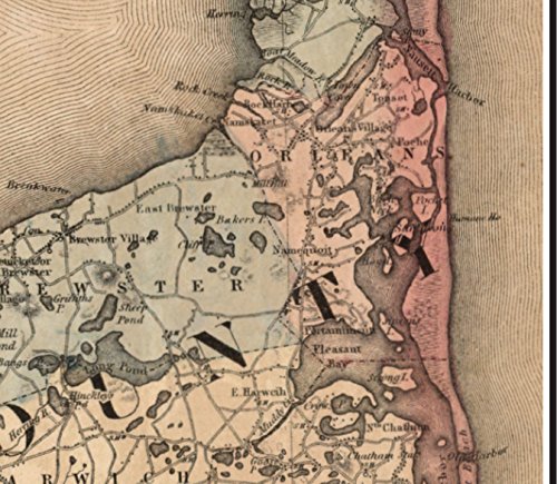
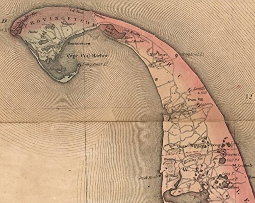
This print is an excerpt made from the "Topographical Map of Massachusetts 1861" by H.F. Walling. The original is a large wall map. Our excerpt frames just the area around Cape Cod and nearby areas of the mainland. This map is similar to our reprint of the 1844 Borden Map of Cape Cod. Walling's wall map was based on the earlier Borden work. Original size 18" x 24"
Trustpilot
2 months ago
4 days ago