
DOWNLOAD THE APP


Customer Services
Copyright © 2025 Desertcart Holdings Limited
DOWNLOAD THE APP
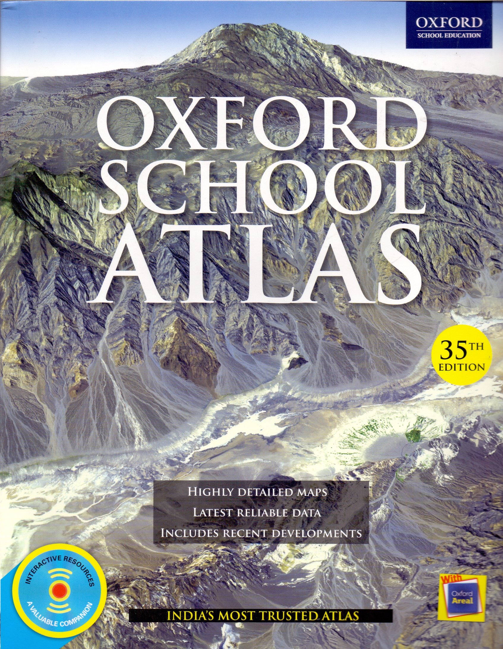
desertcart.in - Buy Oxford School Atlas: India's Most Trusted Atlas 35th edition(Old Edition) book online at best prices in India on desertcart.in. Read Oxford School Atlas: India's Most Trusted Atlas 35th edition(Old Edition) book reviews & author details and more at desertcart.in. Free delivery on qualified orders. Review: An exceptional atlas with a rich & diverse collection of facts and figures ,unlike any other . - THE NEED – A PREVIEW: xxxxxxxxxxxxxxxxxxxxxxxxxxxxxxxxx Last year I got my 7-year-old kid a globe & a book on flags & ever since then, he has memorized the locations of all the countries of the world including their flags. Looking onto his passion to explore further I decided to buy him a full-fledged atlas and what else other than an Oxford atlas could be much more suitable. ABOUT THE BOOK: xxxxxxxxxxxxxxxxxxxxxxxxxxx There were not much options online for an atlas yet, I myself had been referring an Oxford atlas since my childhood days and there wasn’t any doubt in my mind to pass on the custom to the next generation. The key points of the book could be summed as follows under various heads. 1. Book Binding: ************************** The book comes with a paperback binding & the pages of the book are solidly stitched by threads which is surely durable. The main cover of the book is properly glued to the main pages but would surely come off on rough handling. 2. Size: **************** The book dimensions fare around 11 “ inches (Height) by 8.7” inches (Width). Thickness is around 1 cm, so it’s not a small book for sure however with bigger books you can expect bigger font size, bigger pictures & clear visibility, which is especially helpful for kids 3. Edition/Content & No. of pages: ******************************************* This book doesn’t have any age rating over it as is expected from an atlas . It’s the 35th edition of the book printed in 2017.The book has in total 139 pages with description of Contents in the front & index at the last respectively. There is a lot to write about content as it contains a diverse collection of data at one place: 1.Not only does it offer the latest geographical data but also along with the demographic content it includes socio-economic data as well like literacy rate, GDP, Life expectancy, fertility rate, Energy minerals etc. 2.It contains separate physical and political maps of India and continents. 3.First 63 pages focus on all aspects of India like development, industrial concentration, minerals , rainfall , foreign tourist , religions literacy etc . 4.It also has few pages dedicated to the flags for major countries along with key data specific to the country. 5.The book comes included with a CD which has a more organised data collection including animations, slide shows & interactive sessions. The content of the book in my view is extremely diverse and rich as would be required by any aspirant or enthusiast. Extremely helpful for a quick reference. 4. Paper Quality/Durability: *************************************** The paper quality offered at the given price is pretty good, reasonably thick & by no means fragile. 5. Price: ***************** The book came with a price tag of 243 bucks against printed MRP of 374 which is quite a bargain however I wouldn’t have mind an extra few hundred if it was available in hardcover edition. FINAL VERDICT: xxxxxxxxxxxxxxxxxxxxxx All in all, I would just say , that this is an exceptional book with no equivalent contender upfront in the market. It has such a huge collection of rich and diverse data, all at one place which is remarkable. Definitely recommended. Review: This book is useful from 4th standard kids - Political and physical Maps, Flags of different countries, Natural vegetation, Climate, etc .....very useful. Worth of Money.
| ASIN | 019946071X |
| Best Sellers Rank | #216,029 in Books ( See Top 100 in Books ) #61 in School Atlases #469 in IGCSE (Books) #1,523 in CISCE - ICSE & ISC |
| Customer Reviews | 4.4 4.4 out of 5 stars (2,524) |
| Dimensions | 24 x 18 x 1 cm |
| Edition | First Edition |
| Generic Name | Book |
| ISBN-10 | 9780199460717 |
| ISBN-13 | 978-0199460717 |
| Item Weight | 370 g |
| Language | English |
| Packer | Oxford University Press |
| Print length | 300 pages |
| Publication date | 1 January 2016 |
| Publisher | Oxford University Press |
| Reading age | 12 years and up |
N**A
An exceptional atlas with a rich & diverse collection of facts and figures ,unlike any other .
THE NEED – A PREVIEW: xxxxxxxxxxxxxxxxxxxxxxxxxxxxxxxxx Last year I got my 7-year-old kid a globe & a book on flags & ever since then, he has memorized the locations of all the countries of the world including their flags. Looking onto his passion to explore further I decided to buy him a full-fledged atlas and what else other than an Oxford atlas could be much more suitable. ABOUT THE BOOK: xxxxxxxxxxxxxxxxxxxxxxxxxxx There were not much options online for an atlas yet, I myself had been referring an Oxford atlas since my childhood days and there wasn’t any doubt in my mind to pass on the custom to the next generation. The key points of the book could be summed as follows under various heads. 1. Book Binding: ************************** The book comes with a paperback binding & the pages of the book are solidly stitched by threads which is surely durable. The main cover of the book is properly glued to the main pages but would surely come off on rough handling. 2. Size: **************** The book dimensions fare around 11 “ inches (Height) by 8.7” inches (Width). Thickness is around 1 cm, so it’s not a small book for sure however with bigger books you can expect bigger font size, bigger pictures & clear visibility, which is especially helpful for kids 3. Edition/Content & No. of pages: ******************************************* This book doesn’t have any age rating over it as is expected from an atlas . It’s the 35th edition of the book printed in 2017.The book has in total 139 pages with description of Contents in the front & index at the last respectively. There is a lot to write about content as it contains a diverse collection of data at one place: 1.Not only does it offer the latest geographical data but also along with the demographic content it includes socio-economic data as well like literacy rate, GDP, Life expectancy, fertility rate, Energy minerals etc. 2.It contains separate physical and political maps of India and continents. 3.First 63 pages focus on all aspects of India like development, industrial concentration, minerals , rainfall , foreign tourist , religions literacy etc . 4.It also has few pages dedicated to the flags for major countries along with key data specific to the country. 5.The book comes included with a CD which has a more organised data collection including animations, slide shows & interactive sessions. The content of the book in my view is extremely diverse and rich as would be required by any aspirant or enthusiast. Extremely helpful for a quick reference. 4. Paper Quality/Durability: *************************************** The paper quality offered at the given price is pretty good, reasonably thick & by no means fragile. 5. Price: ***************** The book came with a price tag of 243 bucks against printed MRP of 374 which is quite a bargain however I wouldn’t have mind an extra few hundred if it was available in hardcover edition. FINAL VERDICT: xxxxxxxxxxxxxxxxxxxxxx All in all, I would just say , that this is an exceptional book with no equivalent contender upfront in the market. It has such a huge collection of rich and diverse data, all at one place which is remarkable. Definitely recommended.
S**S
This book is useful from 4th standard kids
Political and physical Maps, Flags of different countries, Natural vegetation, Climate, etc .....very useful. Worth of Money.
V**A
Thanks A lots
Nice book my use full
S**M
Can't miss it...
School Atlas along with Student Atlas is musttttt for UPSC .After finishing 11 and 12 th Ncerts Of geography go first with School Atlas and den Student Atlas. One thing is sure about School Atlas that it is better than Student Atlas in terms of font size,maps,clear description and specific very less eye strainer than Student Atlas . INDIAN part should be covered thoroughly !!! but let me clear cover only syllabus portion . Don't get over enthusiastic when studying an Atlas ( if preparing for any exams ). Finally both School and Student Atlas along with 11 and 12 th NCERTS with regular CA update will complete your entire UPSC or other PSC examinations. NO NEED TO GO FOR BIG BOOKS LIKE MAJID HUSSAIN,WIZARD ETC ETC...
P**S
Must have book ,good content and quality
Really good book to learn about the Indian geography,places ,and other important stuffs ....best for upsc aspirants as it'll help in GS paper preparations as well .The quality is really good.Papers are all colourful and good that even children's will be excited to go through the book
L**A
Paper quality is good and also the material in side the book.
Good but when I saw the book I noticed one thing which is when you open it there will be few maps which are not half on left ,half on right this is actually hiding the map's few part. And you will be unable to read it because it is steppalled. They must correct it.
A**A
Recommend to every upsc aspirant..!!!
Perfect for UPSC CSE aspirants. Because mapping is really important in this exam. This book has everything you world look for on internet. It also has a CD which i noticed much later and has animations, every type of map of every country which you can print and practice questions.
D**T
It's a nice atlas has all required content but it's a bit expensive than other of this kind
A little bit expensive than other options for the same kind of books
Trustpilot
1 month ago
3 weeks ago